Aspen Acres Fire Grows to 28,363 Acres, 155 Structures Lost as Red Flag Warning Continues
Description: July 1 Aspen Acres Fire Update: The fire northwest of Rye has grown to 28,363 acres with 0% containment, at least 155 structures lost, and evacuations still in effect.
Published: 2 hours ago
Byline: SECO News

Aspen Acres Fire Update
Wednesday, July 1, 2026 – 8:00 a.m.
Colorado Incident Management Team
Phil Daniels, Incident Commander
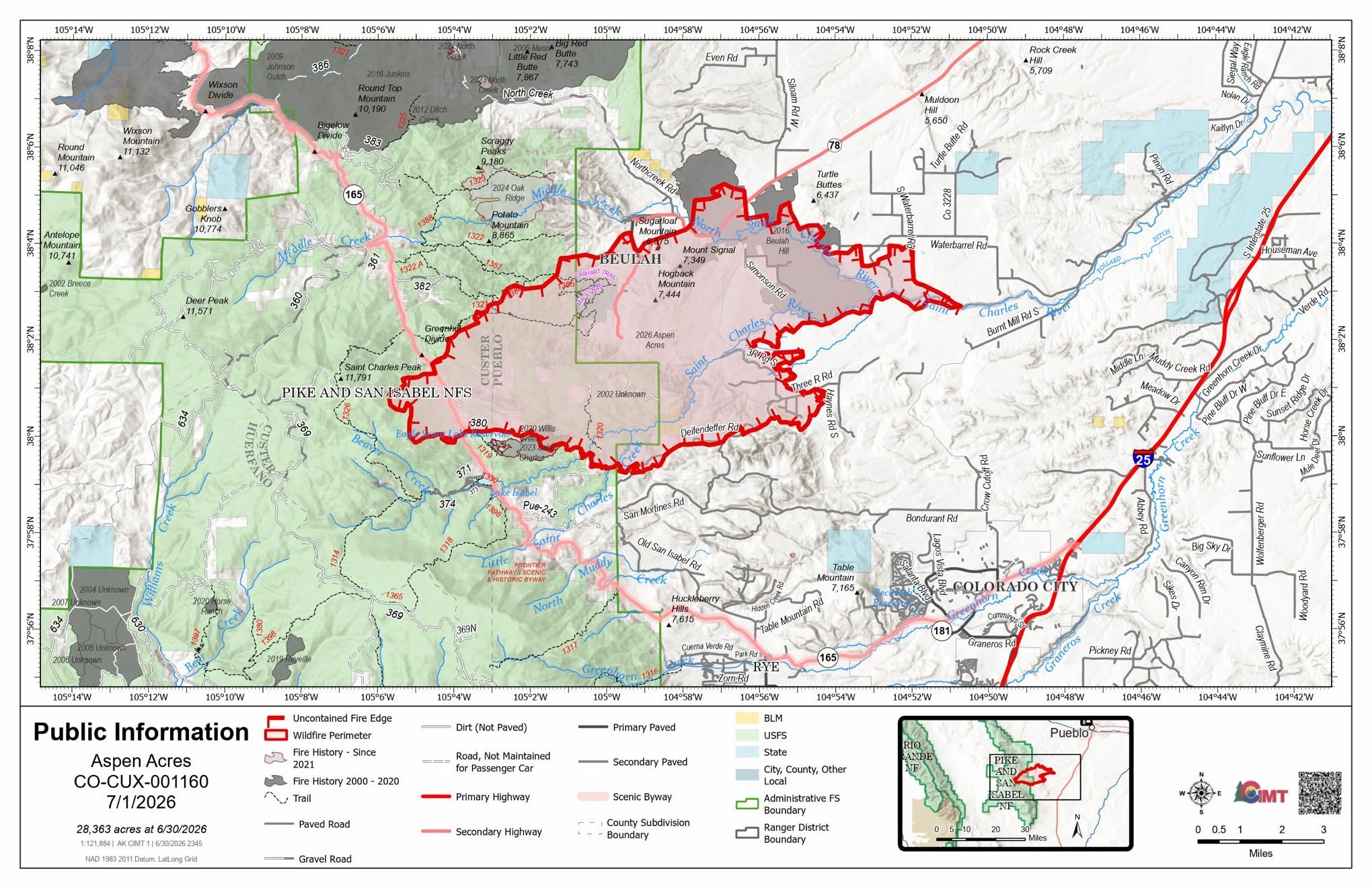
Size: 28,363 acres
Containment: 0%
Total Personnel: approximately 165
Location: 10 Miles NW of Rye, CO in Custer and Pueblo Counties
Reported: June 29, 2026, at 6:00 a.m.
Cause: Human, Under Investigation
Fire Information Phone Line: 719.697.8353
Email: 2026.aspenacres@firenet.gov
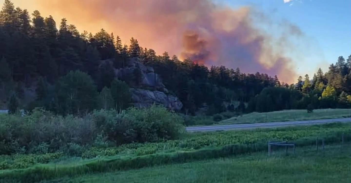
Current Situation: Night shift had their work cut out for them, as strong winds from yesterday’s afternoon storms fueled extreme fire behavior that carried through the evening, causing additional threats to structures. A dedicated Structure Protection Group is working throughout subdivisions, using point protection tactics to defend homes and other critical infrastructure threatened by the fire in the Beulah Valley, around Lake Isabel, and other priority areas.
Damage assessments are underway as conditions allow, and the Custer County and Pueblo County Sheriff's Offices will notify property owners as soon as they have the report. In a press conference yesterday, the Sheriffs announced that between the two counties, at least 155 structures have been lost. Even if a home is located within the fire perimeter, it may or may not be damaged. Thank you for your patience while crews complete this important work.
Strong partnerships continue to support the response. The Colorado Department of Transportation repaired the Willis Creek Bridge, allowing firefighters to safely access key areas. Utility crews are also repairing damaged power lines to restore service as soon as it is safe for residents to return.
Team Colorado is meeting today with the incoming Complex Incident Management Team from Alaska (CIMT1) that will be taking over command of the fire on Thursday, July 2.
Weather: A RED FLAG WARNING IS IN EFFECT FROM 10 AM TO 10 PM MDT WEDNESDAY. Today's main concern is isolated afternoon and evening thunderstorms. While rainfall will be limited, storms may produce dangerous lightning and strong, erratic wind gusts up to 50 mph. Even storms far from the area can send powerful outflow winds that cause sudden wind shifts. As thunderstorms move east, hot, dry, and windy conditions will continue. Southwest winds may gust up to 30 mph, and very low humidity will keep wildfire danger elevated.
Fire Behavior: Dry vegetation and large numbers of dead trees from past insect damage continue to create high wildfire danger. As temperatures rise, humidity drops, and winds increase, fire activity is expected to become more intense. Expect long-range spotting, where embers ignite new fires well ahead of the main fire. Until the area receives significant rainfall or humidity increases, wildfire conditions will remain critical. Higher winds and heavy smoke today could hamper air support.
Fire Restrictions: Stage 2 Fire Restrictions are in effect in Custer and Pueblo Counties, Colorado. No open fires are allowed.
Evacuations/Closures: For information on Pueblo County evacuations and road closures, visit: https://pueblosheriff.org/394/Pueblo-Emergency-Status-Board There is also a link to sign up for emergency alerts.
To sign up for emergency alerts in Custer County visit: https://custercounty-co.gov/.../emergen.../fire-information/
Related Content
 Aspen Acres Campground Staff Clarifies Fire Origin Amid False Reports
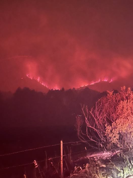 Aspen Acres Fire Property Assessments Underway as Officials Urge Public to Stay Out of Fire Area
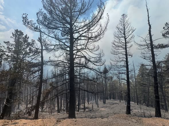 Aspen Acres Fire Evacuations Expand Near Red Creek Ranch as Red Flag Warning Continues
Follow SECO News on Facebook.
Subscribe to the SECO News YouTube Channel.
Click to Zoom

Press releases Sponsor


.png)


.png)


.png)


.png)